Whether you are looking for a family-friendly coastal stroll or a ridge-line scramble, Olympic National Park is the spot for you. This western Washington peninsula is arguably one of the most diverse landscapes in the country by offering you glaciated peaks, rugged coastlines, and ancient forests covered in a vast variety of flora and fauna. No roads will let you access the heart of the park, so here’s our list of the 5 best hikes to reach the beauty of moss-covered trees, towering sea stacks, and pointed horizons of Olympic National Park.
Here Are The 5 Best Day Hikes in Olympic National Park:
1. Ruby Beach
2. Hoh River Trail to 5 Mile Island
3. Deer Park to Maiden Peak
4. Mt. Stormking & Marymere Falls
5. The Ozette Triangle
Ruby Beach
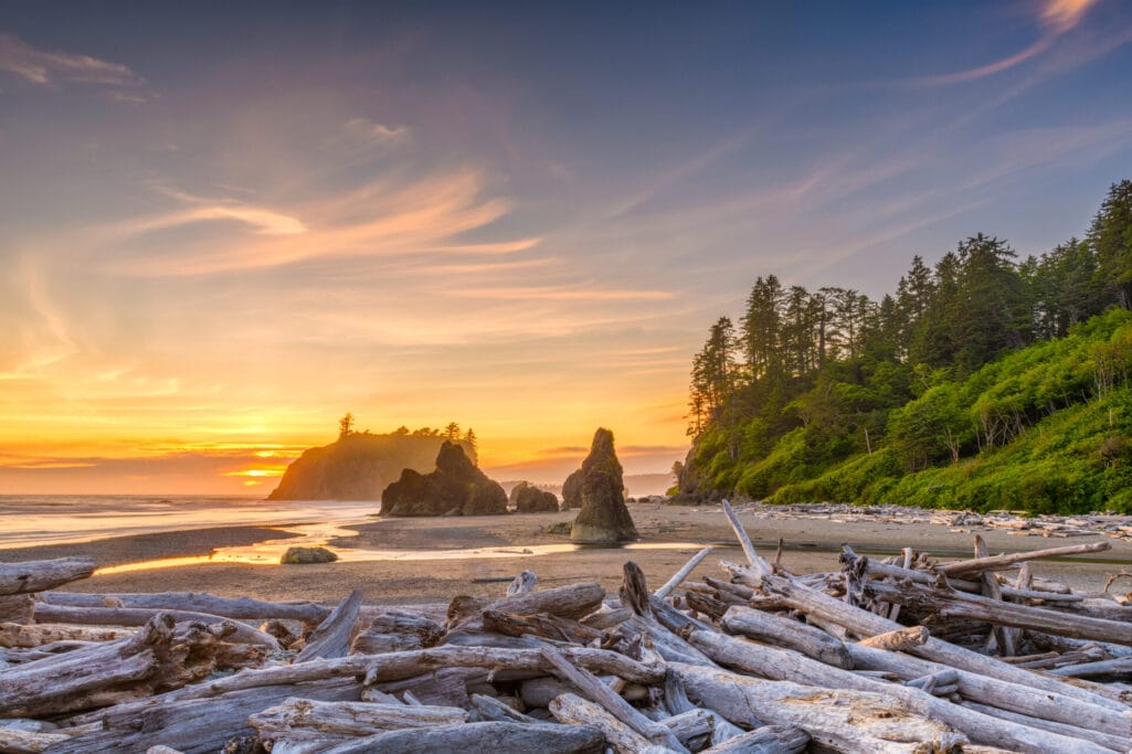
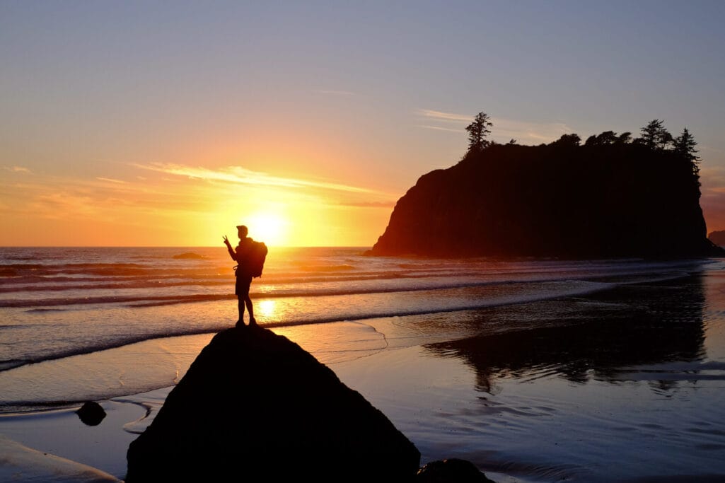
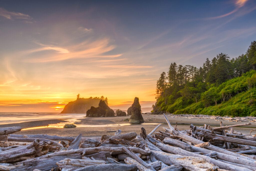
Ruby Beach offers several miles of beach exploration. Choose your own adventure either by exploring the lively tidal pools, playing with the sun-bleached driftwood, scrambling along the unique sea stacks and rock formations, or simply enjoying the beach. Be sure to check the tidal charts before heading out! Beginning at the trailhead (at the parking lot), follow the trail down to the beach, choosing to go north or south. To the north, walk around three miles past several large sea stacks until you reach the waters of the mighty Hoh River. To the south, hike around three miles to Steamboat Creek (during low tide) and view Destruction Island and its lighthouse to the west. When you’re finished exploring the beach, return the way you came and enjoy the rest of your day, and maybe go hit the Sol Duc Hot Springs on the way home.
Driving Directions: From Forks, travel southbound on US 101 for 27 miles and turn right following signage for Ruby Beach just past mile marker 165.
Difficulty Rating: Easy
Mileage: 6 miles
Elevation Gain: 60 ft

Hoh River Trail to 5 Mile Island
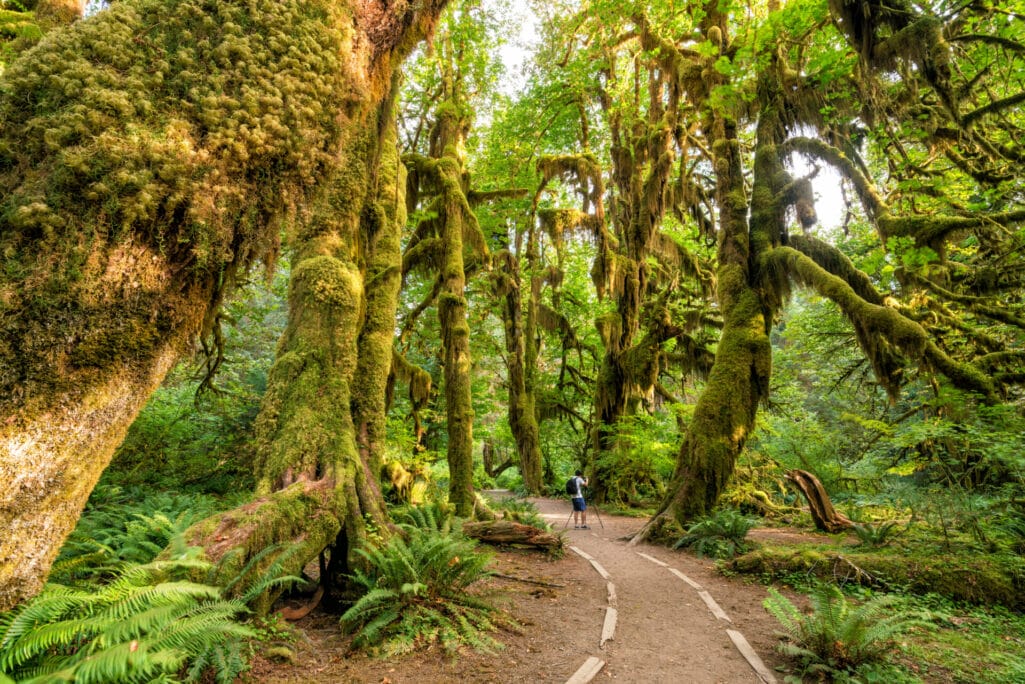
You can’t escape a sense of magic at the Hoh. The open canopy affords you great views of the Olympic Mountains extending up and downstream of the Hoh River valley. The trail is easy with minimal elevation gain, excellent tread, and an open understory that lets you experience the cascading moss, huge trees, and abundant wildlife. Hike as far as you’d like, as you can extend this hike for 18 miles toward Mt. Olympus or stop at Five Mile Island for an excellent view of Bogachiel Peak (as long as it isn’t raining). If it is raining, you can press on another half mile to find cover at the Happy Four Shelter and regroup before heading back.
Driving Directions: From Forks, head south on U.S. Highway 101 for about 13 miles. Turn east onto Upper Hoh Road and continue about 18.2 miles to the road’s end, where the ranger station and trailhead are located.
Difficulty Rating: Moderate→ Difficult
Mileage: 10.6 miles roundtrip
Elevation Gain: 300 ft

Deer Park to Maiden Peak
Experience panoramic views of the Olympics, the North Cascades, and the Strait of Juan de Fuca while frolicking amongst abundant alpine flowers on this spectacular out-and-back day hike. As you traverse the forest side, peep occasional views of the broader vistas to come while anticipating what the true summit has to offer. As the forest ends, enter the broad meadows full of grasses, blueberries, and wildflowers. Fantastic views in all directions start to open up, giving you views of the strait of Juan de Fuca, Vancouver Island, Canadian peaks, Mount Baker, Mount Shuksan, and Blue Mountain.
The trail then traverses the meadow to the peak’s south, with views of the tree-clad valleys and ridges below. Some of these include Grand Lake, Grand Valley, and panoramic views of Deception Peak, Elk Mountain, Mount Cameron, and Glacier Peak towering over the Cascades. As you round the first sub-peak, you now see the second, true summit of Maiden Peak (6434 feet). There is no official trail to the summit except a boot path scramble marked by a USGS survey marker. Once at the top, the views are 360, expansive, and breathtaking. Turn back and hike the way you came, or hike through nearby saddles to extend your hike before heading homeward.
Driving Directions: Driving on route 101 going west from Sequim, take the Deer Park Loop exit on the right. After you loop under the highway, take a right turn on Deer Park Road. You will see the Obstruction Point Trailhead just before the Ranger station. There is a small parking lot right by the trailhead, and a privy.
Difficulty Rating: Difficult
Mileage: 8 miles
Elevation Gain: 2100 ft
Mt. Stormking & Marymere Falls
Mt. Storm King and Marymere Falls share the same parking destination. One is a very popular family-friendly hike to a waterfall, and the other is an exposed romp up to a summit with fantastic views of Lake Crescent. While they can be done separately, we recommend you do both and take a dip in Lake Crescent afterward. The hike is steep sometimes, and the trail is not maintained to the top. The maintained trail continues 1.5 miles from the trailhead, turning to a climber’s trail that is exposed and eroded. There are ropes in some sections to aid in climbing up and down, but be careful with your footing and stop if you are uncomfortable about traveling down the slopes. The trail to the summit is 2 miles, but there are many great viewpoints along the way if you’d rather not travel up the unmaintained trail.
Marymere Falls is one of the best family-friendly hikes in Olympic National Park. Starting near the shoreline from the Storm King Ranger Station, you quickly become immersed in the old-growth, moss-laden forest surrounding Lake Crescent. The trail is very well maintained and relatively flat until reaching a set of nature stairs to the two Marymere Falls viewpoints. Both the lower and upper viewpoints of Marymere Falls are very picturesque!
Driving Directions: Drive west on Highway 101 from Port Angeles for 20 miles. At milepost 228 turn right into a large parking area signed for Lake Crescent and Marymere Falls. Continue 0.2 miles to the Storm King Ranger Station (on the shores of Lake Crescent). Begin your hike on the Marymere Falls Nature Trail.
Difficulty Rating: Difficult
Mileage: 4 miles for Mt. Stormking, 1.8 for Marymere Falls
Elevation Gain: 2065 ft for Mt. Stormking, 500 ft for Marymere Falls
The Ozette Triangle
The Ozette Triangle combines two of the best hikes in Olympic National Park—a forest stroll and a walk on the beach. Start your hike at Lake Ozette, Washington’s largest unaltered natural lake. Before long, your trail becomes a beautiful cedar boardwalk meandering through red cedars, licorice ferns, salals, and other flora and fauna. The roar and smell of the ocean soon lull you in as you arrive at the coast of Cape Alava. Turn left to head south along the beach, passing the ancient petroglyphs at Wedding Rocks, and bear witness to old Makah tribe petroglyphs of whales, hunters, and sailing ships. Experience the moodiness of how the ocean meets the rainforest and return the way you came, or head south to make a loop via the Sand Point trail.
Driving Directions: From Port Angeles, head west on U.S. Highway 101 for about 4.5 miles. Turn right to continue west on State Route 112 for 38 miles. Turn right to continue on 112 west towards Neah Bay. Continue for 10.5 miles, turning left on Hoko Ozette Road / Ozette Lake Road. Follow this road for 21.2 miles to the ranger station and trailhead.
Difficulty Rating: Moderate
Mileage: 9.2 miles
Elevation Gain: 100ft

The Best Hikes in Olympic National Park Are Waiting!
The enchanting landscapes of Olympic National Park await your exploration, each trail leading to a unique and captivating ecosystem, be it the majestic mountains, the rhythmic waves of the oceans, or the serene alpine meadows. The choice is yours to make, and with every step, you embark on a journey through nature’s splendid diversity. Happy trails!
The post Five Best Hikes in Olympic National Park appeared first on Lasting Adventures | Top-Rated Guide Services.


